Underwater Investigation Near Oak Island’s Swamp
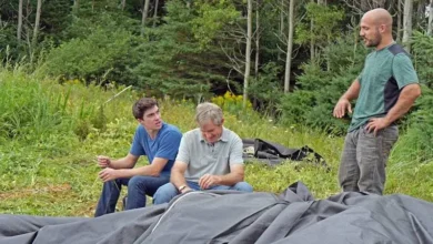
An exciting exploration begins just north of Oak Island as Alex Lagina, Jack Begley, diver Tony Sampson, and underwater imaging expert Ken DeBor investigate a possible buried dam in the swamp’s northern region. According to Fred Nolan and supported by Zena Halpern’s mysterious map, there may have once been a structure at this location, potentially when the water level was much lower.
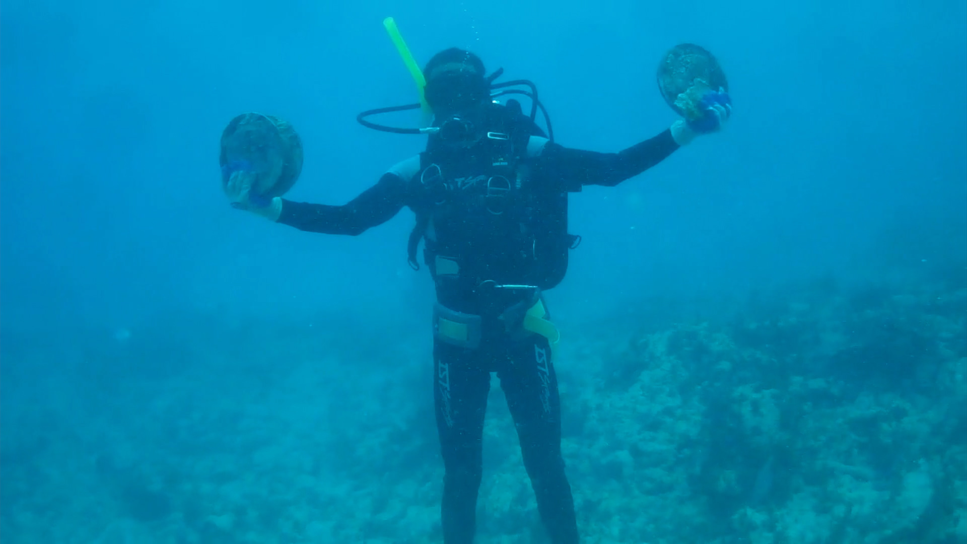
To assist in the search, Ken DeBor deploys a tethered ROV (Remote Operated Vehicle) equipped with thrusters and a high-definition camera to act as a second set of eyes while Tony explores the seabed.

Promising Discoveries on the Seafloor


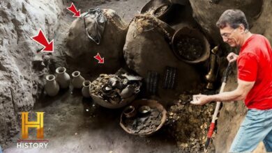
As Tony scans the bottom using a handheld metal detector, he begins identifying intriguing features. Though digging is prohibited without a permit, Tony is allowed to scan and visually assess the seafloor. He spots what appears to be hand-carved wood—possibly remnants of the hypothesized dam structure referenced on Zena Halpern’s map.
Soon, Tony locates pottery shards with blue markings and pipe stems. These are remarkably similar to artifacts recently uncovered at Lot 5, suggesting a potential connection. The possibility arises that the area served as a deposition point or once supported human activity directly linked to the construction of the swamp.
A Mysterious Coin-Like Object
Tony then discovers a circular metallic object with a hole in the center. Though unconfirmed, it may be an ancient coin, potentially similar to the Chinese coin discovered in 2020 by Gary Drayton and Jack Lagina, which was believed to be over 1,000 years old. If confirmed, this new discovery could support the theory that the swamp and surrounding shoreline were manipulated centuries ago, possibly involving people from distant lands.
Because of regulatory constraints, the coin must remain in place until the team can secure a special permit for recovery and further examination. Nonetheless, the concentration of underwater artifacts strengthens the case for future excavation efforts.
Water Infiltration at the Garden Shaft
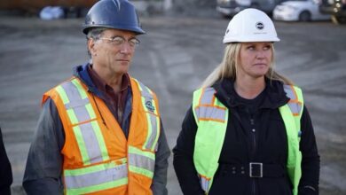
Meanwhile, Rick and Marty Lagina personally inspect the ongoing work at the Garden Shaft, a mid-18th-century structure being extended toward a significant east-west tunnel. The team has deepened the shaft to 87 feet, aiming for a final depth of nearly 100 feet, in hopes of intersecting a tunnel previously identified during core drilling.
However, they encounter significant water infiltration near set 16. To address this, the team plans to inject fast-setting urethane foam into the surrounding rock to seal the leaks, an effort critical to maintaining shaft integrity.
Approaching the Target Tunnel
As Rick and Marty descend into the shaft, they reach newly exposed layers of untouched earth—soil that hasn’t seen daylight for centuries. They believe they are now only a few feet above the tunnel dated to the 17th century. This tunnel runs toward the area known as the “baby blob,” where gold, silver, and other metals were previously detected in groundwater.
The ultimate goal is to probe horizontally from the shaft and investigate this tunnel for signs of buried treasure or historical structures. If necessary, a new tunnel can be constructed to reach any promising targets.
Exploring Aladdin’s Cave with a Downhole Camera
Nearby, at borehole KL-14.5, geologist Terry Matheson and archaeologist Moya MacDonald oversee a camera inspection into a large underground cavity known as “Aladdin’s Cave.” This chamber lies nearly 150 feet below the surface and was previously detected through core drilling.
The high-definition inspection camera reveals at least 10 feet of open space—larger than anything previously encountered. Within the silt and murky water, a square-headed bolt-like object appears, raising the possibility of human involvement. However, without more conclusive evidence, the team refrains from making definitive claims.
The cave seems to contain strong underwater currents, which obscure visibility, but its size and form suggest it could be significant. The next step will involve mapping it in detail using sonar technology, which may reveal whether it is a natural void or a man-made excavation.