For centuries, the story of the Vikings in North America was confined to the realm of Norse sagas—epic tales of seafaring warriors venturing into a mysterious, bountiful land they called “Vinland.” While the 1960 discovery of L’Anse aux Meadows in Newfoundland provided the first physical proof of their presence, explorer Josh Gates and his team believe the full story of the Norse in the New World is far from told. In a recent expedition, Gates turned his attention to the rugged coastlines of New England, seeking to bridge the gap between ancient legend and archaeological reality.Historical Sites & Buildings
The Mystery of the Nomans Land Runestone
The journey begins with a provocative piece of evidence: the Nomans Land Runestone. Located on a tiny, uninhabited island off the coast of Martha’s Vineyard, this stone bears inscriptions that some believe were carved by Leif Erikson’s crew nearly a thousand years ago. While skeptics dismiss it as a modern hoax, the stone remains a focal point for those hunting for “Viking proof” south of Canada.
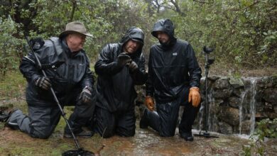
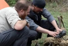
Josh Gates, known for his relentless pursuit of historical truths, joined forces with stonework experts Jim and Bill Vieira. Their mission was not just to view the stone, but to find a specific landmark mentioned in old records—the “Horse Rock.” This geological feature was once used to identify the location of the runestone before it was moved or submerged by the shifting tides of the Atlantic.Beaches & Islands


Tracking a Ghost in the Water
Navigating the treacherous waters around Nomans Land is no simple task. The island, a former bombing range, is strictly off-limits, requiring the team to conduct their search from the sea. Using historical photographs from the early 20th century, Gates and the Vieira brothers attempted a complex game of “visual forensics.”
“We’re looking for a needle in a haystack, but the haystack is underwater,” Gates remarked as they scanned the horizon. By aligning the jagged cliffs shown in vintage black-and-white photos with the current landscape, the team hoped to pinpoint the original resting place of the runestone. The breakthrough came when they identified a distinctive, dark outcrop barely breaking the surface of the waves—the legendary Horse Rock.
Into the Depths
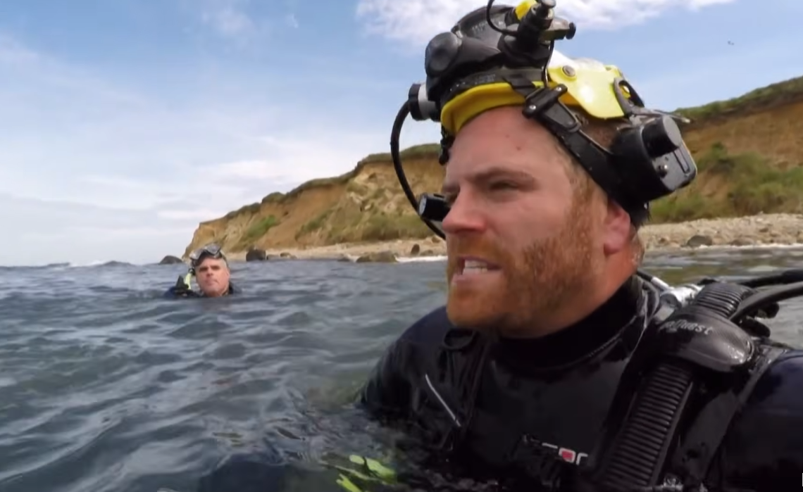
With the coordinate secured, the expedition shifted from a boat-based survey to an underwater recovery mission. Gates donned his scuba gear to explore the seabed surrounding Horse Rock. The conditions were challenging; the surge of the Atlantic and low visibility made every movement a struggle.
The goal was to find any submerged artifacts or perhaps the original site of the runestone’s carving. In the Norse sagas, Vinland was described as a land of “self-sown wheat” and “grapes,” a description that fits the lush environment of coastal Massachusetts far better than the icy shores of Newfoundland. Finding evidence here would fundamentally rewrite the map of Viking exploration, proving they ventured hundreds of miles further south than officially recognized.
The Weight of History
While the waters didn’t yield a definitive “smoking gun” in this single dive, the identification of Horse Rock serves as a vital piece of the puzzle. It confirms that the historical accounts of the stone’s location were geographically accurate, lending new weight to the possibility that the Norse did indeed walk these shores.
For Josh Gates, the search for Vinland is more than just finding a stone; it’s about honoring the spirit of the Vikings—explorers who pushed into the unknown without maps or certainty. As the sun set over the Massachusetts coast, the mystery of Vinland remained partially veiled, but the trail is warmer than ever. The sagas may be ancient, but on the mysterious coastline of the Atlantic, the past is still waiting to be discovered.